Cape Breton Island is connected to mainland Nova Scotia by a causeway across the Canso Strait, passable by car in under a minute. The island covers roughly 10,300 square kilometres and occupies the northeastern corner of the province. Its defining feature is the Cabot Trail — a 298-kilometre highway loop that crosses the Cape Breton Highlands, follows sea cliffs above the Gulf of St. Lawrence, and drops through fishing communities on the island's east coast.
In autumn, the highlands colour sequence runs from mid-September at elevation through mid-October at sea level. The combination of mixed hardwood and boreal forest produces an unusually wide range of yellows, oranges, and reds compared to most other parts of Atlantic Canada.
Getting to Cape Breton
The Canso Causeway is at Port Hastings, accessible from Trans-Canada Highway 104. Sydney, Cape Breton's largest city, is 280 kilometres from Halifax by road. Cape Breton Regional Airport (YHZ is Halifax's main airport; YQY is Sydney's airport) serves the island with connecting flights. The drive from Halifax is approximately three hours.
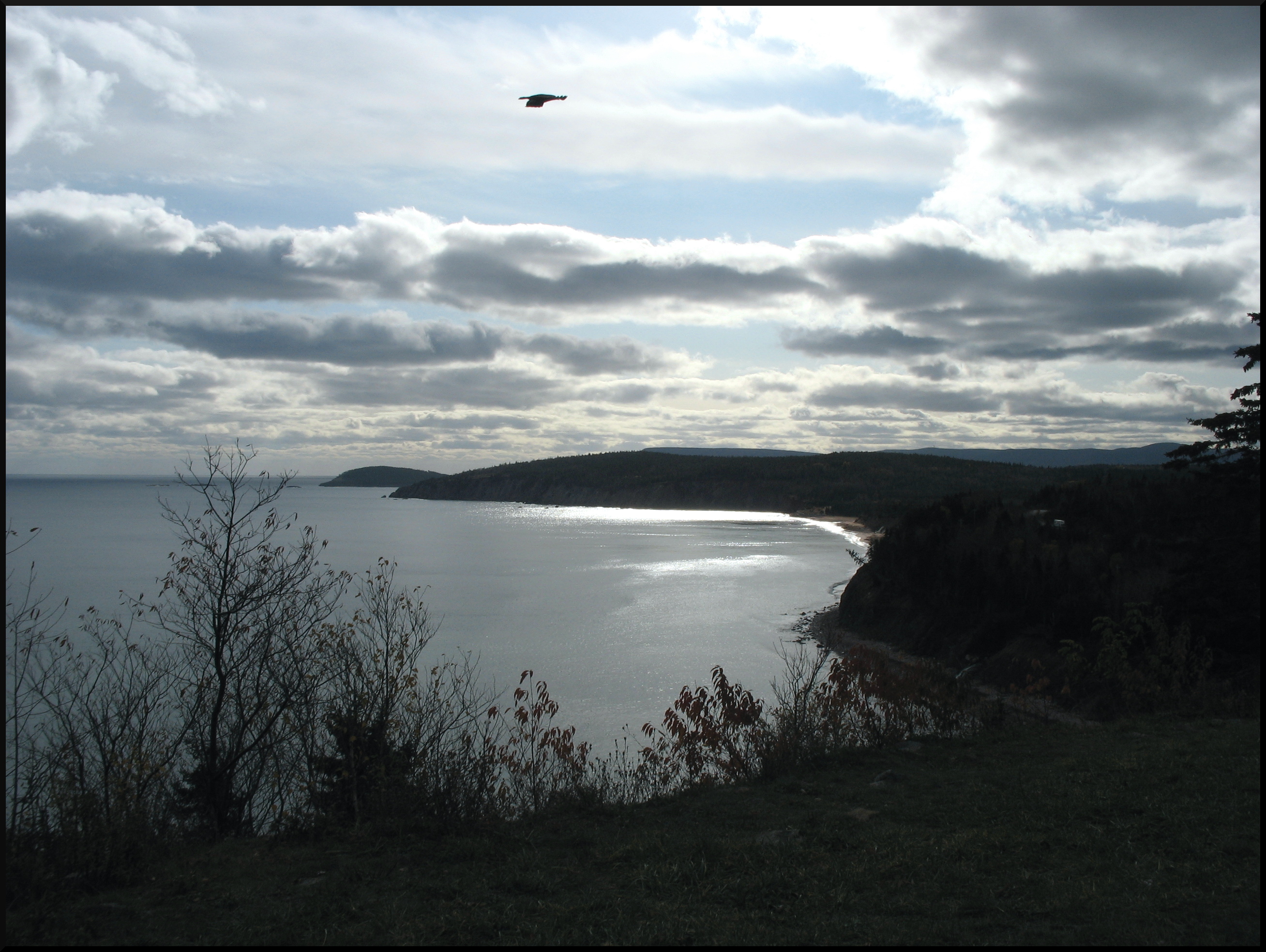
The Cabot Trail: route and direction
The Cabot Trail can be driven in either direction. The most common approach is to enter at Baddeck and drive counterclockwise (west coast northward toward Chéticamp, then along the top of the island and down the east coast). This keeps the passenger side of the vehicle against the sea on the more dramatic sections, and the clockwise route puts the driver closer to the cliff edge on narrow highland sections.
The full loop is 298 kilometres and can be driven in a day, but this leaves almost no time to stop. Two days is more reasonable, with a base in Ingonish or Chéticamp. Three days allows side trips and trail hikes.
Cabot Trail — driving notes
- Road is open year-round; highland sections can be icy in October and November
- Maximum grade on some highland descents is 14% — use low gear
- Fuel available in Chéticamp and Ingonish; limited elsewhere on the north loop
- Cell coverage is intermittent across the highlands
Cape Breton Highlands National Park
Cape Breton Highlands National Park occupies the northern plateau of the island. Entry fees apply and are collected at park gates on either side of the highland section — one near Chéticamp (western entrance) and one near Ingonish (eastern entrance). Parks Canada Discovery Pass is accepted. The park contains 26 hiking trails ranging from the 15-minute Lone Shieling walk (old-growth sugar maple stand) to the 8-kilometre Skyline Trail, which terminates at a headland above the Gulf of St. Lawrence.
The Skyline Trail is the most visited hike in the park. The boardwalk section at the headland receives heavy foot traffic in October; Parks Canada has placed viewing platforms to reduce impact on the cliff edge vegetation. Early morning visits encounter the fewest people. Moose are frequently seen in the highlands; the park population is substantial and encounters on trails are common.
Autumn foliage timing
The highland plateau above 400 metres typically colours first, usually in the second week of September. By late September, the mid-elevation slopes along the driving sections of the trail are near peak. Sea-level areas around Ingonish and the Bras d'Or lakeshore reach peak in the first two weeks of October.
Environment and Climate Change Canada provides weekly foliage forecasts for Nova Scotia in autumn on its website. The Cape Breton Regional Municipality's tourism page also posts observer reports during the season.

Niagara Falls, Ontario — referenced for comparison to Atlantic Canada's dramatic landscapes. Photo: Leslie Mateus / Wikimedia Commons, CC BY-SA 2.5.
The Bras d'Or Lakes
The Bras d'Or is a salt-water inland sea occupying the centre of Cape Breton Island. It is navigable and connected to the Atlantic Ocean at two points. Baddeck, on the northern shore, is the most accessible town for visitors arriving via the Trans-Canada. Alexander Graham Bell maintained a home and laboratory here for decades; the Alexander Graham Bell National Historic Site (administered by Parks Canada) is open seasonally and covers Bell's work in aviation and hydrofoils, not just the telephone.
The lake system is used for sailing and kayaking; several outfitters in Baddeck offer rentals and guided tours. In autumn, the lake surface reflects the surrounding hills clearly on calm mornings before wind picks up.
Inverness and the west coast
The west coast of Cape Breton, south of the national park, is quieter than the Cabot Trail circuit. Inverness has a public beach on the Gulf of St. Lawrence that faces west, making it one of the few ocean-facing beaches in Nova Scotia with sunset views over open water. The water temperature on this coast is significantly warmer than the Atlantic-facing east coast due to the enclosed character of the Gulf.
Margaree Valley, between Inverness and the Cabot Trail, is known as a salmon fishing destination. The Margaree River system drains a large portion of the western highlands; fly fishing for Atlantic salmon operates under Nova Scotia Wildlife Division licensing, available through the provincial government.
Cape Breton and Celtic culture
Cape Breton has the highest concentration of Gaelic speakers in North America outside of Scotland. The Colaisde na Gàidhlig (Gaelic College) at St. Ann's, on the Cabot Trail east coast section, runs cultural programs and events including the Celtic Colours International Festival each October — a week-long series of concerts and events in venues across the island. Festival dates and programming are listed annually on the Celtic Colours website.
When to go
The first two weeks of October represent the best balance between foliage colour and mild driving weather. Traffic on the Cabot Trail peaks on Thanksgiving weekend (second Monday of October in Canada); the week before or after is noticeably quieter. Late September is also viable and often less crowded, though highland colours may be past peak by then at the highest elevations.
Accommodation in Ingonish and Chéticamp is limited; booking several weeks in advance for October visits is standard. Many smaller inns close after Thanksgiving weekend.